


Banks of the Rhone route
It is an itinerary classified as difficult because of its length and a steep passage on the right bank of the Rhone, after Eslex.
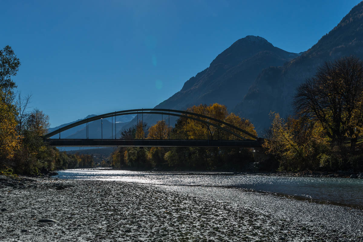 It allows you to discover scenic, varied shorelines, with, in some places, a feeling of being at the bottom or at the edge of a canyon and to breathe in the fragrances of vegetable essences and scents of Provence from the Bois-Noir.
There are information panels with descriptions of the local wildlife and some tree varieties that you will find on route. This path is also used by the “Chemins bibliques” association or tour of the district of Saint-Maurice.
- Time: around 4 hours
- Difficulty: level 3
- Signposts: “Berges du Rhône” (riverbanks of the Rhône) itinerary
- Distance: 15.52 km
Bien évaluer sa condition physique et ses capacités. L'utilisation des différents itinéraires se fait toujours à vos propres risques.
Le tracé de Suisse Mobile est soumis à des droits de copyright; toute reproduction ou diffusion est interdite (en savoir plus).
